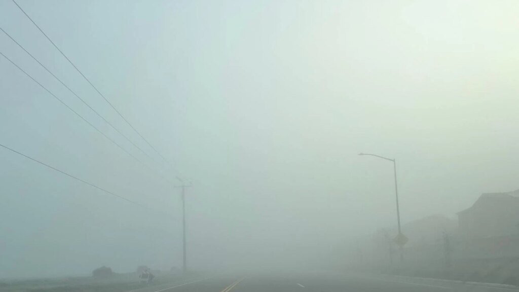
An extreme, record-breaking fog event occurred in the San Joaquin Valley this past weekend. Fresno-Yosemite International Airport reported visibility as low as 1/16th of a mile for 10 hours on Friday and 20 consecutive hours of 1/8th-mile visibility on Saturday—the latter a record unseen since 1962.
This phenomenon is driven by a specific weather pattern: an unusually wet start to the rain season saturated the ground, followed by a high-pressure system that cleared the skies. With clear winter nights, temperatures drop to the dew point, causing 100% humidity and condensing moisture into fog. Trapped by surrounding mountains and a lack of wind, the fog persists.
Currently, this pattern resembles “Groundhog Day,” with foggy nights and clear afternoons. This differs from early December’s all-day gloom, as a recent dry storm created drier air that allows the fog to burn off temporarily. If this afternoon clearing continues, expect more very foggy nights; if it doesn’t, the region may revert to the cold, cloudy pattern seen previously. This fog season is expected to last through mid-February.
Read More

